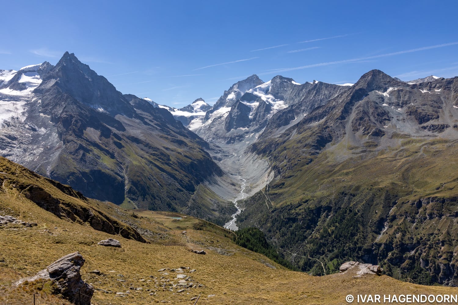
The Roc de la Vache is a popular viewpoint above Zinal, which offers terrific panoramic views of the Besso, Dent Blanche, Grand Cornier, Zinalrothorn and the Pointe de Zinal. It's a rewarding hike and not too demanding. I even encountered some people with a dog. I did the hike counter clockwise. From the Roc de la Vache I could see the Cabane de Tracuit in the distance, but I had a bit of a late start and didn't have the time and energy to make it to the hut and back following the previous day's hike to the Cabane du Grand Mountet. I now want to climb to the Cabane de Tracuit, stay the night, and then climb to the top of the Bishorn.
I can highly recommend the Roc de la Vache hike as a warming up hike if you've just arrived and need to acclimate to higher elevation.
The Val d'Anniviers is often overlooked, but it is really beautiful. The hike to the Cabane de Moiry in Grimentz, overlooking the Moiry Glacier, is really cool and relatively easy. The hike to the Cabane du Grand Mountet is long and demanding, but one of the top hikes in the Swiss Alps. The hike to the Cabane d'Arpitettaz is also quite nice. It partially overlaps with the Roc de la Vache trail, but if you're up to it and get an early start, you can combine both.
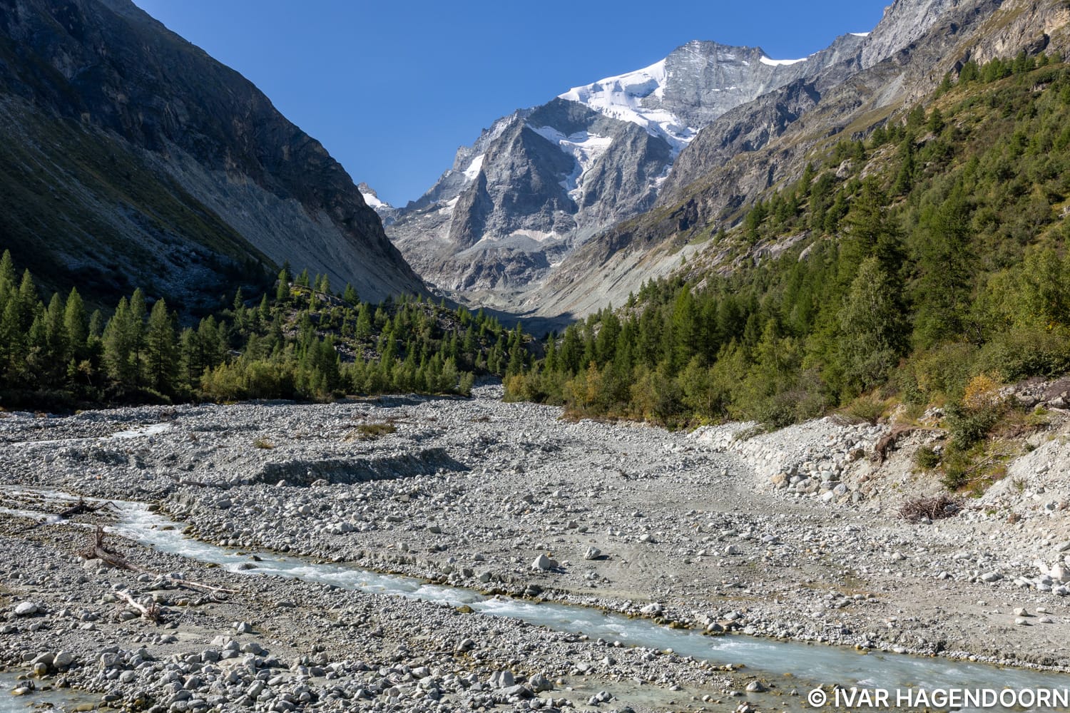
The starting point of the hike. This is where the fun starts. The actual starting point is in Zinal. Unfortunately it takes about 45-60 minutes to get from Zinal to this point. You first have to walk to the end of the valley past some farm land.
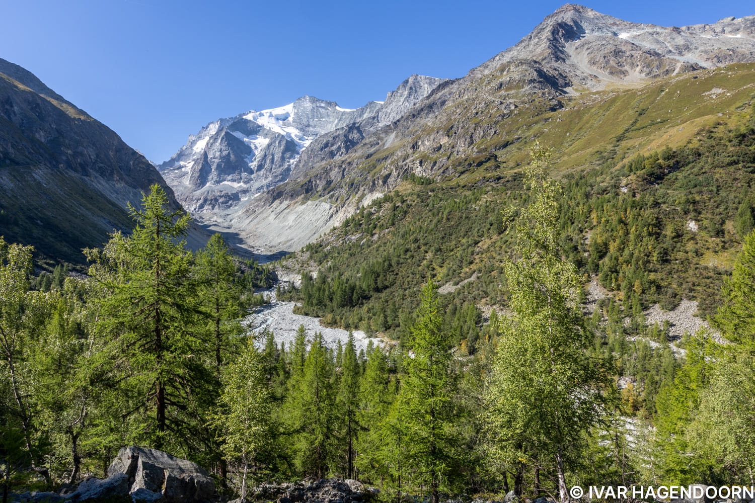
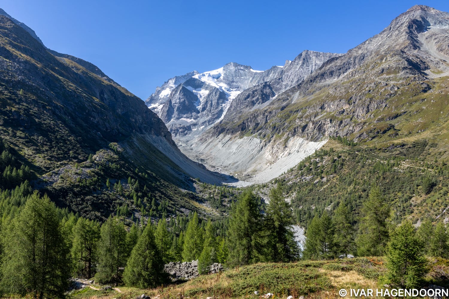
Ascending above the treeline...
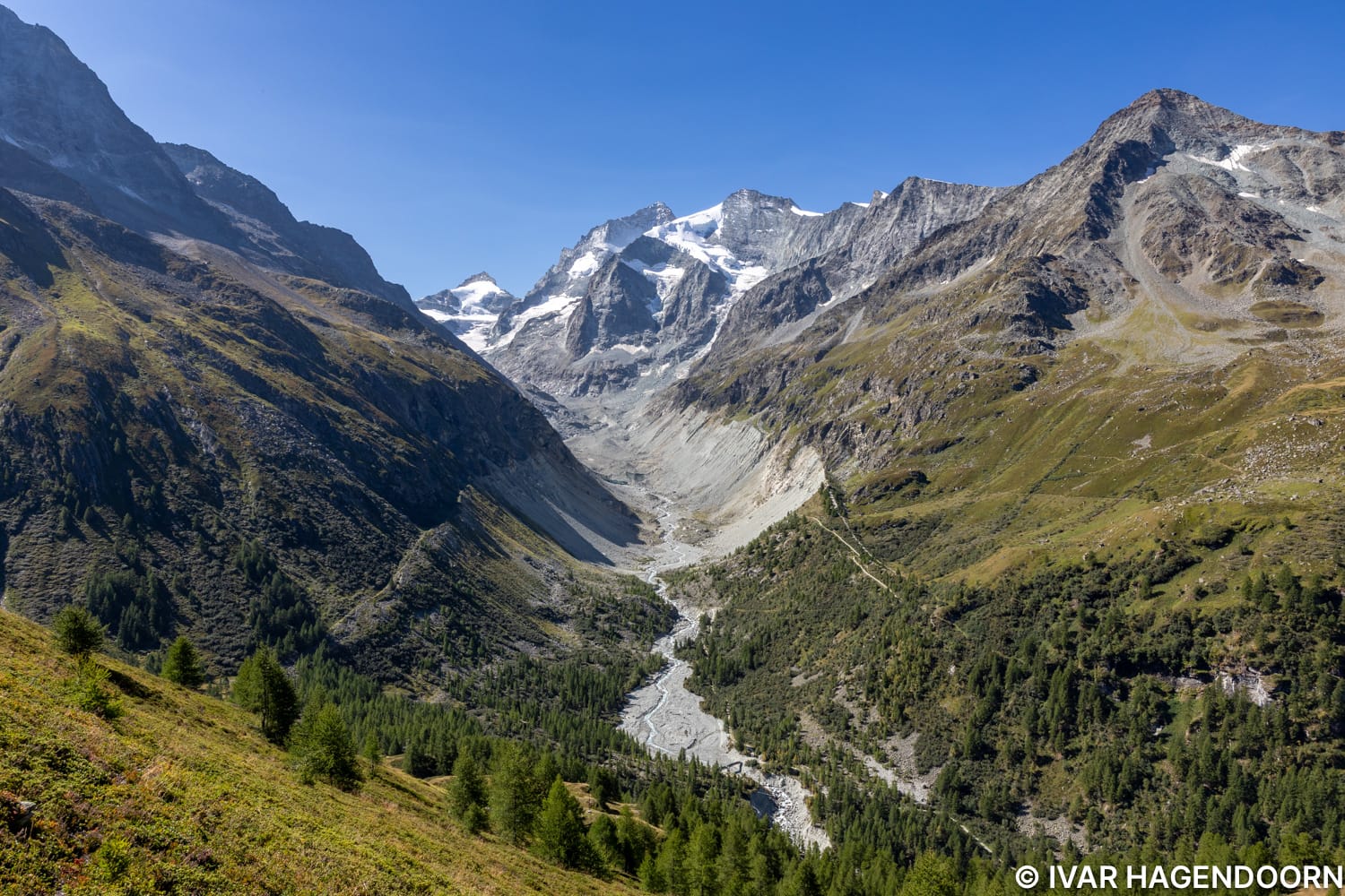
As you climb higher the views get better and better. At the bottom you can see the bridge, which is sort of the trail head.
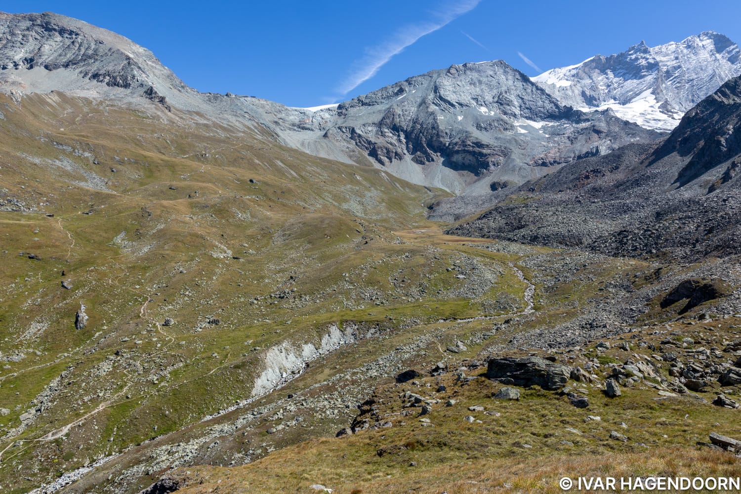
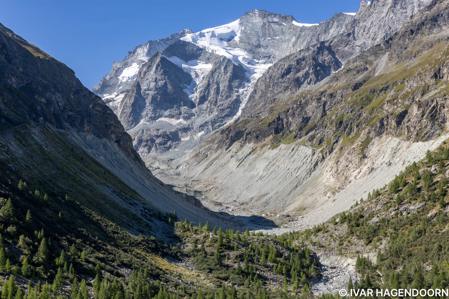
The view towards the east. The Cabane de Tracuit is on the saddle between the mountain to the left and the one in the middle. It looks so close, you can even see the trail, which doesn't look all that difficult. But according to a sign post where the trail splits it takes between 1.5 and 2 hours! I hike relatively fast, but because I always make multiple photo stops I've found that the time on the sign posts is a good indication of how long it takes me to get to the destination. If I must I can hike very fast, whether up or down, but only if I force myself not to take any photos.
Related Posts
More awesome hikes in the Swiss Alps! The Glacier Trail Felskinn Mattmark, the hike to the Schreckhornhütte, the hike from Schynige Platte to Faulhorn to First, the Matterhorn Glacier Trail, the hike to the Schönbielhütte, the hike to the Chamanna da Boval and the Chamanna Coaz.
All photos are available for licensing. INQUIRE about pricing.