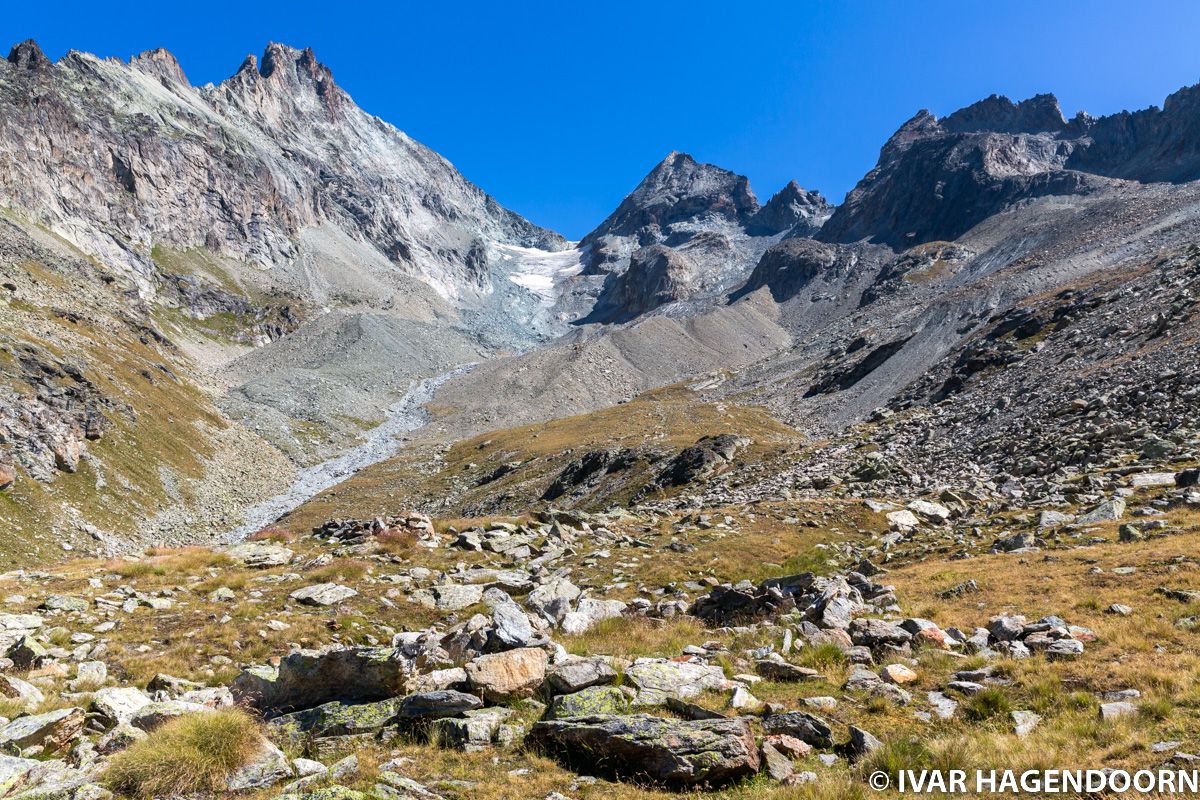
The hike to the Plans de Bertol is a relatively short but rewarding hike in the Val d'Hérens. It starts in Arolla at an elevation of about 2,000 meter and ends at a plateau at an elevation of 2,664 meter. I didn't have any crampons with me so I didn't continue all the way up to the Cabane de Bertol.

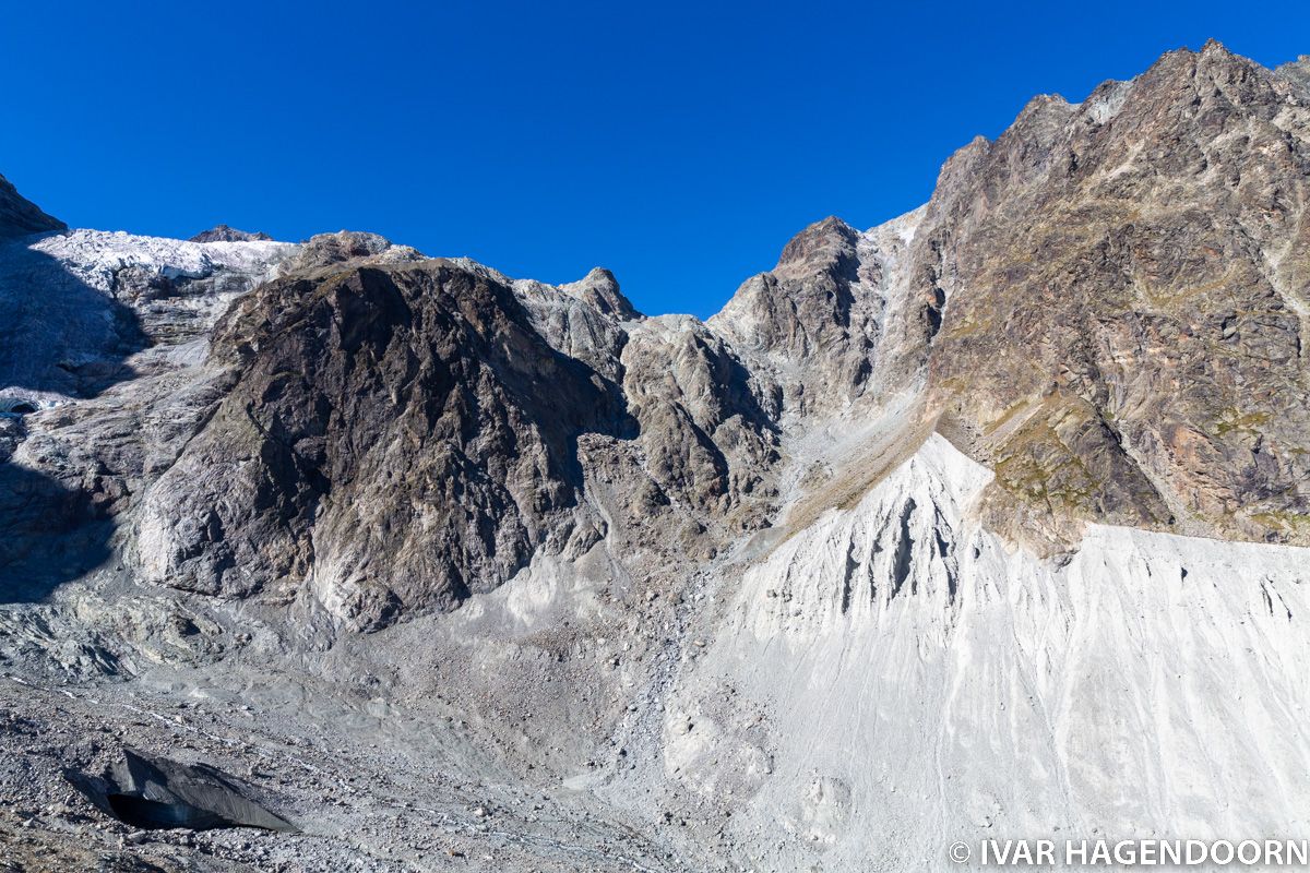
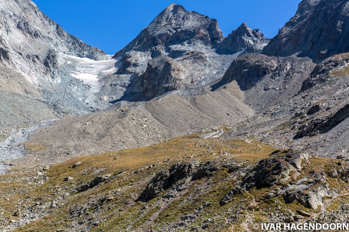
As you hike towards the Plans de Bertol the views get better and better...

...and better...
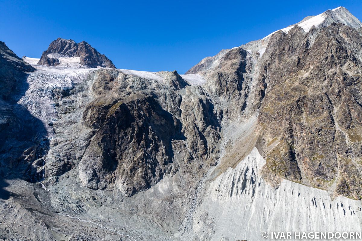
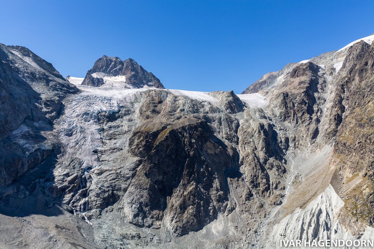
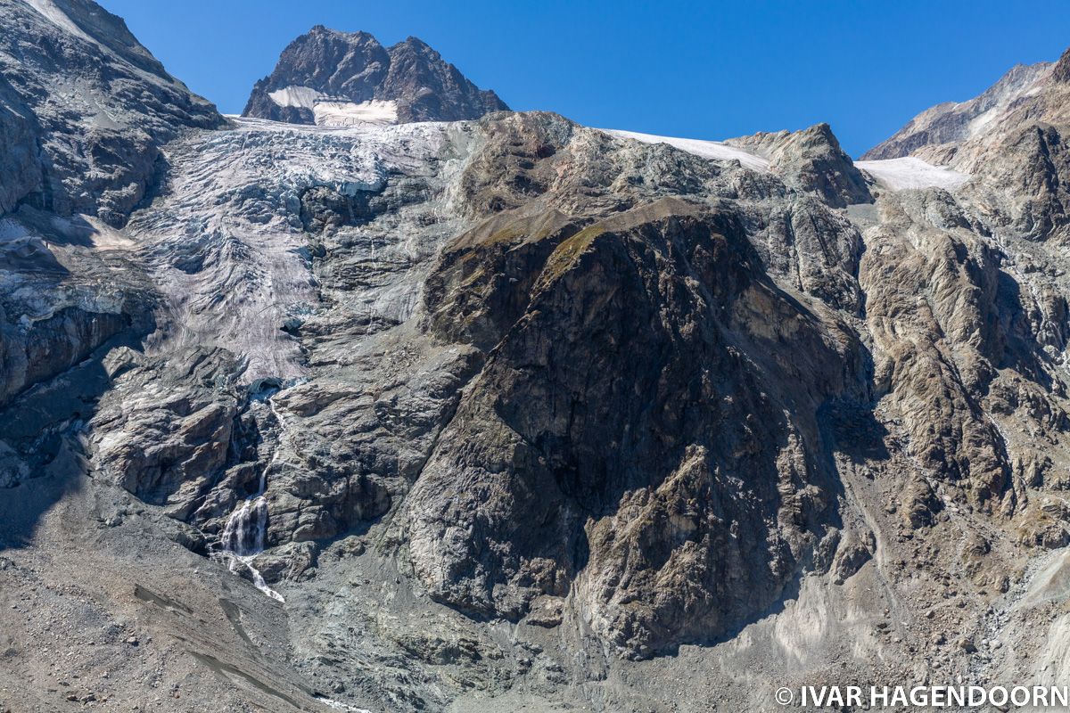
... until at some point the glacier on top comes into view. In the distance the Pigne d'Arolla. The "grey" area in the bottom right corner of the photo clearly shows how far the glacier reached a couple of centuries ago.
Related Posts
More awesome hikes in the Swiss Alps! The spectacular Glacier Trail Felskinn Mattmark, the hike to the amazing Cabane du Grand Mountet, the hike to the Cabane de Moiry, the hike to Oeschinensee Blüemlisalp, the hike from Schynige Platte via the Faulhorn to First, the hike to the Schönbielhütte, the hike to the Chamanna da Boval and the Chamanna da Coaz, the Matterhorn Glacier Trail and the UNESCO Höhenweg along the spectacular Aletschgletscher.
All photos are available for licensing. INQUIRE about pricing.